Stage 11: Rühlerfeld Junction – Weiteveen Junction
Stage 11
While hiking through this section of the Hünenweg, the moor and its eventful history take centre stage. Bourtanger Moor was once the largest continuous upland moor in Cental Europe. We can only guess at the vastness of this former wilderness today, as much of this unique habitat has already been destroyed. As part of the largest economic stimulus programme in post-war German history, large parts of the former moor were dedicated to industrial use.
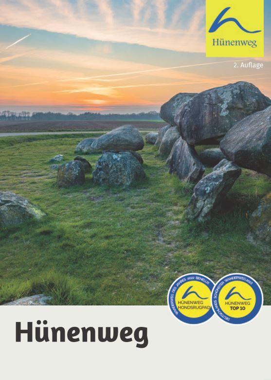
Order the 2nd edition of the Hünenweg hiking guide from Conrad Stein Verlag. On 127 pages you will find detailed information about your hike from Osnabrück to Groningen.
Until the early 1950s, Emsland was the poorest region in Germany. It was only through a targeted support programme, the "Emslandplan", that this region's inhabitants were freed from their massive poverty. However, this came at a high price: hardly any moorland survived this process unscathed.
Today, there is an increasing recognition that moors are not useless pieces of land whose greatest use for humans is in peat extraction. A moor can store 20 times more CO2 than a forest of the same size. Numerous rare animals and plant species also find much needed refuge in moors. Moors are additionally gigantic water reservoirs which help us to react to the challenges of the climate crisis.

Work is already underway on the moors to renature them. Even though peat extraction is only coming to a holt in the following years, some progress can already be seen in the renaturation of these sensitive ecosystems today.
The cross-border Bourtanger Moor – Veenland international nature reserve will continue to work to protect, maintain and develop this special habitat. What once separated the Netherlands and Germany is today bringing them together: the moor.